 |
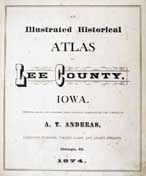
Lee County Atlas |
Maps
| 1874 Township plat maps | Various 1880's Twp. maps | Various 1916 Twp. maps |
| 1874 Land Owners Index |
 |
This is the Rural Areas - Towns and Villages are not included You may see some names on several different township lists. |
| Landowners indexes transcribed by Ruth Dresser | |
| Townships listed in order of location on map | |||
| Cedar Twp. | Marion | Pleasant Ridge | Denmark |
| Harrison | Franklin | West Point | Washington |
| Green Bay | Van Buren | Charleston | Jefferson |
| Des Moines | Montrose | Jackson | |