


1925 Atlas of Clinton County
 Published by
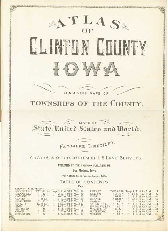
the Anderson Publishing Co., Des Moines, Iowa. To the left is the front page of
the book. (Click on the thumbnail to see a larger view.)
Published by
the Anderson Publishing Co., Des Moines, Iowa. To the left is the front page of
the book. (Click on the thumbnail to see a larger view.)
Thank you so much to the Clinton County Historical Society for loaning us this valuable material.
The great news is that these and other maps are available from the Central Community Historical Society in DeWitt in their newest publication:
1925 Farmer's Directory
(If you would like to help finish transcribing this information, contact me.)
The Reprinting of the Combined Atlases and Plat book for Clinton County. It is chock full of invaluable historical and genealogical information. Included are:
-
Outline maps of Clinton County
-
Maps of Iowa
-
1874, 1905 and 1924 Atlases
-
1894 Plat Book
-
1874 Business Directory
-
1894 Patrons Directory
-
1905 Advertisements - Portraits of prominent citizens - Farmers and Land Owners Directory
-
1925 Farmers Directory and Agriculture Data
This reprint is printed on acid free paper and library hardbound in the highest grade buckrem and handsomely stamped in rich gold foil. The Central Community Historical Society is making this volume available for $40 plus $5 s/h. Mail your check or money order to Central Community Historical Society, 2503 340th Ave., DeWitt IA 52742-9408.