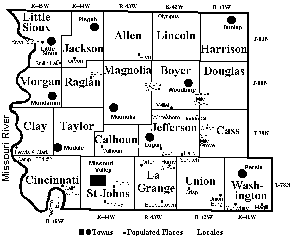
There are two types of township. A Civil Township (above) is the geographic unit used in the U.S. Census.
The Township and Range is the geographic unit of the Public Land Survey System (PLSS), and is commonly used in descriptions of land ownership.
Also see 1884 Township and Plat Maps
Return to Township Histories * Home Page * Maps