
|
|
Harrison County Iowa Genealogy |
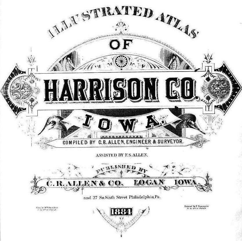
1884 Cover Page
|
1884 Illustrated Atlas of Harrison County Iowa Read the Preface from the Book. (click images for larger view) |
Range & Township Map
|
| Surname | First Name | Township | T | S | R | Acres | Remarks | Page |
The 1884 Illustrated Atlas of Harrison County Iowa was compiled by C R Allen, Engineer & Surveyor, assisted by F. S. Allen and published by C. R. Allen & Co., Logan, Iowa and 27 So. Sixth Street, Philadelpphia, Pa. Engravings by Wm. Bracher and printed by F. Bourquin, both of 27 So. Sixth Street, Philadelphia, Pa.
Notes from the database compiler:
1. There were spelling errors on the map so researchers should be sure to check for alternate spellings of the surnames.
2. This information is meant to be used as a guide to help locate records and not intended to replace deeds or land records as proof of ownership.
3. If any errors are found to have been made by the transcriber, they were unintentional.
Database compiled by Vicki King