
|
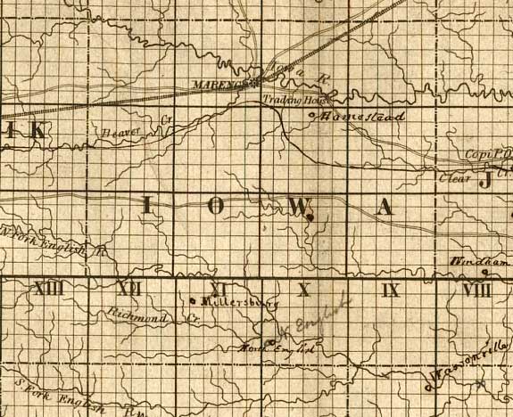
Iowa County detail from Sectional map of the state of Iowa,
compiled from the United States surveys also exhibiting the internal improvements, distances
between towns & villages, lines of projected rail roads &c. &c.; drawn
and published by Guy H. Carleton, Dep. Sur. U.S.; Dubuque, Iowa, 1850.
From the
Library of Congress Geography and Map Division, a.ka., Library of Congress American
Memories. See Copyright and Restrictions at this link. Resized and manipulated for this
site by Stephen D. Williams 2005.
|