Formation
Liberty
Township, situated on the north line of the county east of Marcus and
west of Cedar townships, with Sheridan on the south, was created by the
Board of Supervisors, June 9, 1870. Originally it belonged to Cedar
Township, but now is confined to township 93-41.
Early Settlers
Frank and John Gere in 1869 followed by
E. Lierance, Jacob Hopkins, Dr. Scofield, A.C. Caswell,
D.D. Searles, Ernest and Charles Drefke, William Schultz,
Erick Oleson, E Enockson, Charles Hendry, John and Thomas
Oswald, A.D. Reed and family, H.W. Earl, Henry Marston,
William Beers, George and Davis Prunty and their father
Elias, and Robert Miles.
First Events
House: built by the Gere brothers
Birth: Miss May E. Reed, daughter of Mr. and Mrs. A.J. Reed, May 2, 1872
Death, father of John and Frank Gere in June 1872
School: By Mrs. John Gere winter of 1871-72
School building: built in 1872. Taught by Miss Jennie Robie.
Marriage: E.A. Caswell to Mrs. Lucy Maddock in May 1872
Sunday school: 1873
First organized religion: Methodist in 1874
Election: 1870
Churches
Presbyterian organized in 1882
Swedish Baptist Church organized in September 1869
German Lutheran Church organized in autumn 1888
Cemeteries
Liberty Township Cemetery
Geographical
Liberty township covers an area of 35.97 square miles (93.2
km2) and contains no incorporated settlements
Liberty Twp - WikiPedia
Township News
SOURCES:
The township history was excerpted from Biographical History of
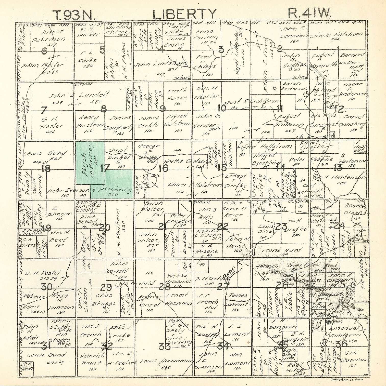
Cherokee County. W. S. Dunbar & Co., 1889. The township map is from
Plat Book of Cherokee County, Iowa, W.W. Hixon & Co.,
Rockford, IL
|

