Woodbury County Cemetery List and Burial sites
Genealogy for Woodbury County, Iowa, USA. Click here for the HOME page.
State Association for the Preservation of Iowa Cemeteries (SAPIC)
http://www.rootsweb.com/~iasapc/
| Name | Info |
|---|---|
| Arlington Cemetery | Google map
https://goo.gl/maps/zxofBsmybtxk8tX47 Moville, IA 51039
|
| Banner Cemetery | Google map
https://goo.gl/maps/z6m4BQ9GLVKr1iSv8
Lawton, IA 51030
|
| Bethel Cemetery aka Rock township cemetery | Google map
https://goo.gl/maps/WABKdACZAdRT1cci7 Rock Township near Correctionville, Iowa Entrance photo |
| Calvary Cemetery - Business Office:1821 Jackson - Sioux City - IA 51105 - (712) 255-7933 -
( Year's ago it was called Mt. Calvary Cemetery) |
2802 Casselman St, Sioux City, IA 51103 Google map https://goo.gl/maps/SiYJdgJ6LR1kUJLf6 Entrance photo #1 Entrance photo #2 Cemetery grounds map |
| Concordia Cemetery | Concordia township
Cemetery, near Lawton, IA. Google map https://goo.gl/maps/MmeCtXzLVSjeFn9c9 Entrance photo |
| Correctionville Cemetery | Correctionville Google map https://goo.gl/maps/4zfrpkfbAfVgeqmt6 Entrance photo |
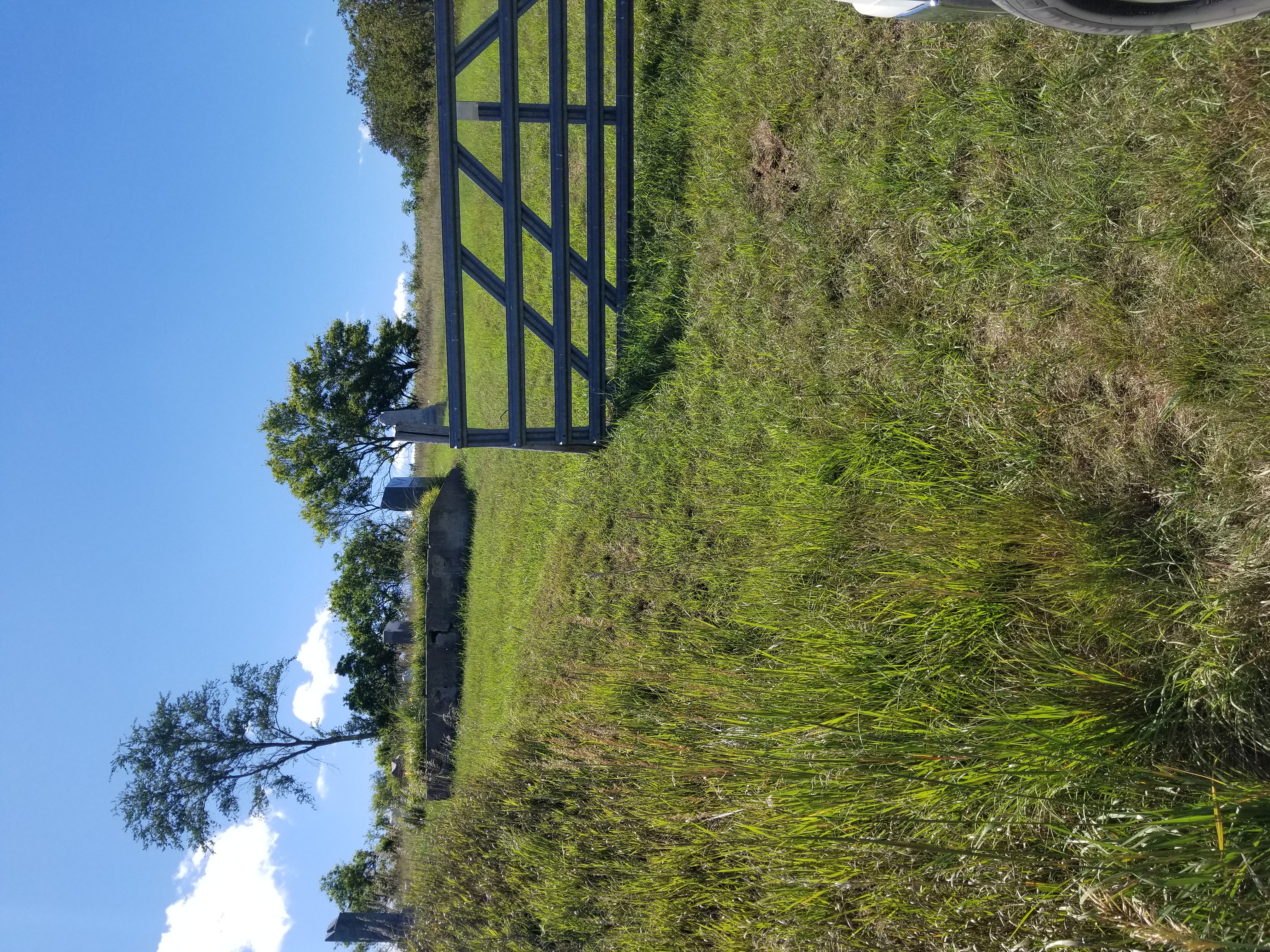
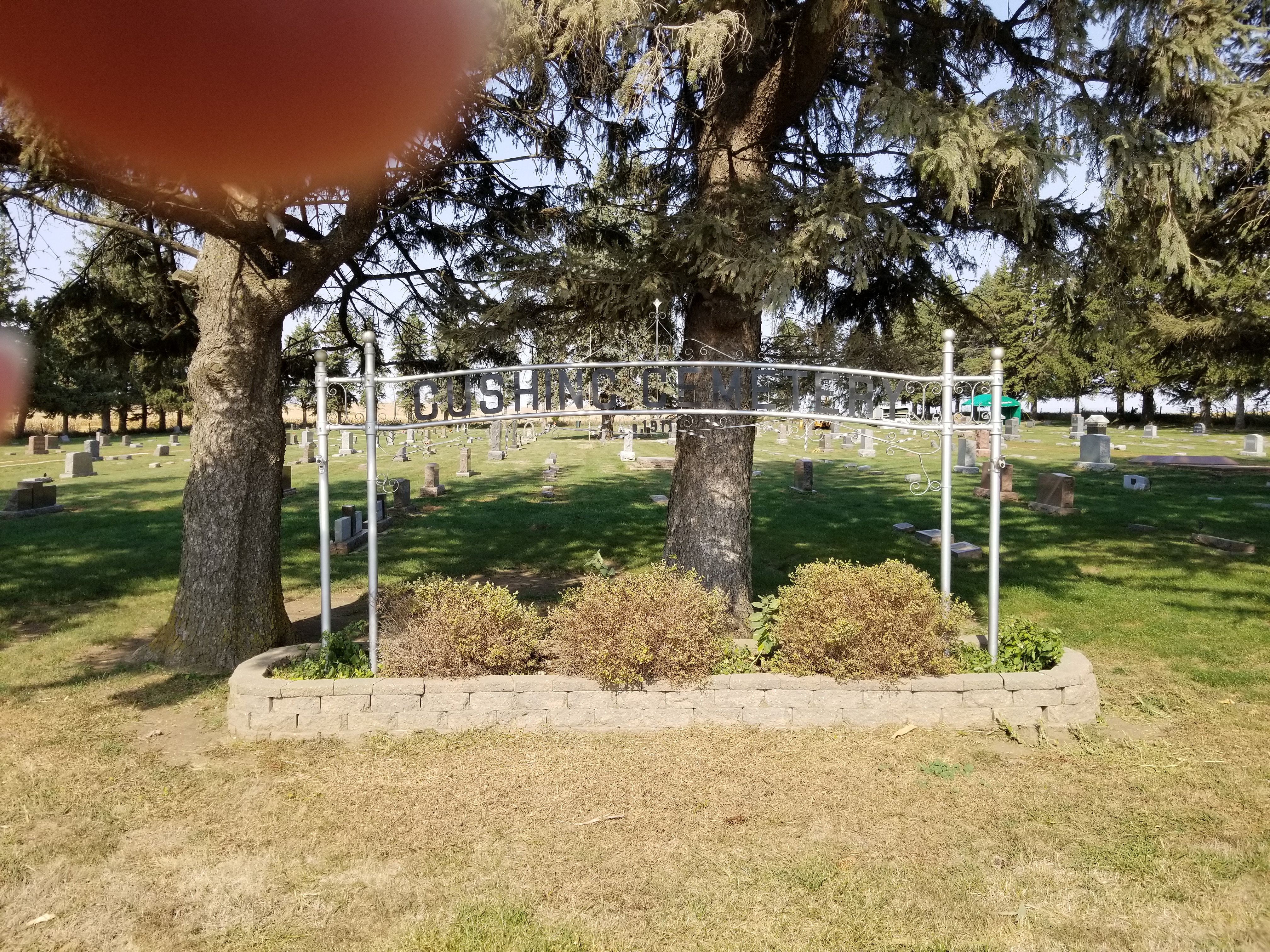
| Cushing Cemetery - a.k.a Rock Township #2 Cushing (Rock Township) | Cushing Cemetery - a.k.a Rock Township #2 Cushing
(Rock Township) Google map https://goo.gl/maps/7hw2TSgAk4cinSSu8 Entrance photo |
| Eberly Cemetery - a.k.a Concord Township Cemetery | Google maps
https://goo.gl/maps/x5my8cDMcU2awoMD7 near Lawton Entrance Photo |
| Elliott Creek Cemetery - a.k.a Floyd Township Cemetery |
Bronson
Google map
https://goo.gl/maps/GT9U7w9y18iqchx28 most, if not all headstones on the west side of the hill. Entrance photo |
| Fairfield Cemetery - a.k.a Rock Branch or Batchellor or Wild Rose (Wolf Creek Township) | West of Correctionville - (Wolf Creek Township)
Google map https://goo.gl/maps/UfD4AHqMKUazUeWT8 Entrance photo |
| First Bride's Grave - Rosalie Menard Leonais | Sioux City - South Ravine Park Google map https://goo.gl/maps/9FMTz4Z5akyvhujo7 Her husband is buried in Calvary Cemetery. |
| Floyd Cemetery - City of Sioux City - Parks Dept. (712) 279-6126 | 2500 E 7th Street, Sioux City, Iowa Google Map https://goo.gl/maps/CV9LrRdwbbTh8ALw5 Entrance photo |
| German City Cemetery | German City Church 2843 Hancock Cir, Hornick, IA (Willow Township) Google map https://goo.gl/maps/rJVb5wYHrXDNnML29 Entrance photo |
| Good Hope Cemetery | Good Hope Cemetery
(Once called Union Ridge Cemetery) 1150 Osceola Ave, Correctionville, IA 51016 (Union Township) Google map https://goo.gl/maps/sz6Mk3cJDZuRyGseA Entrance Photo |
| Graceland Park Cemetery - City of Sioux City, Parks Dept. - (712) 279-6126
Farane Independent is within this cemetery |
2701 South Lakeport St. - Sioux City Google map https://goo.gl/maps/6M6QQLteH7jJQWb57 Entrance Photo |
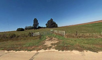
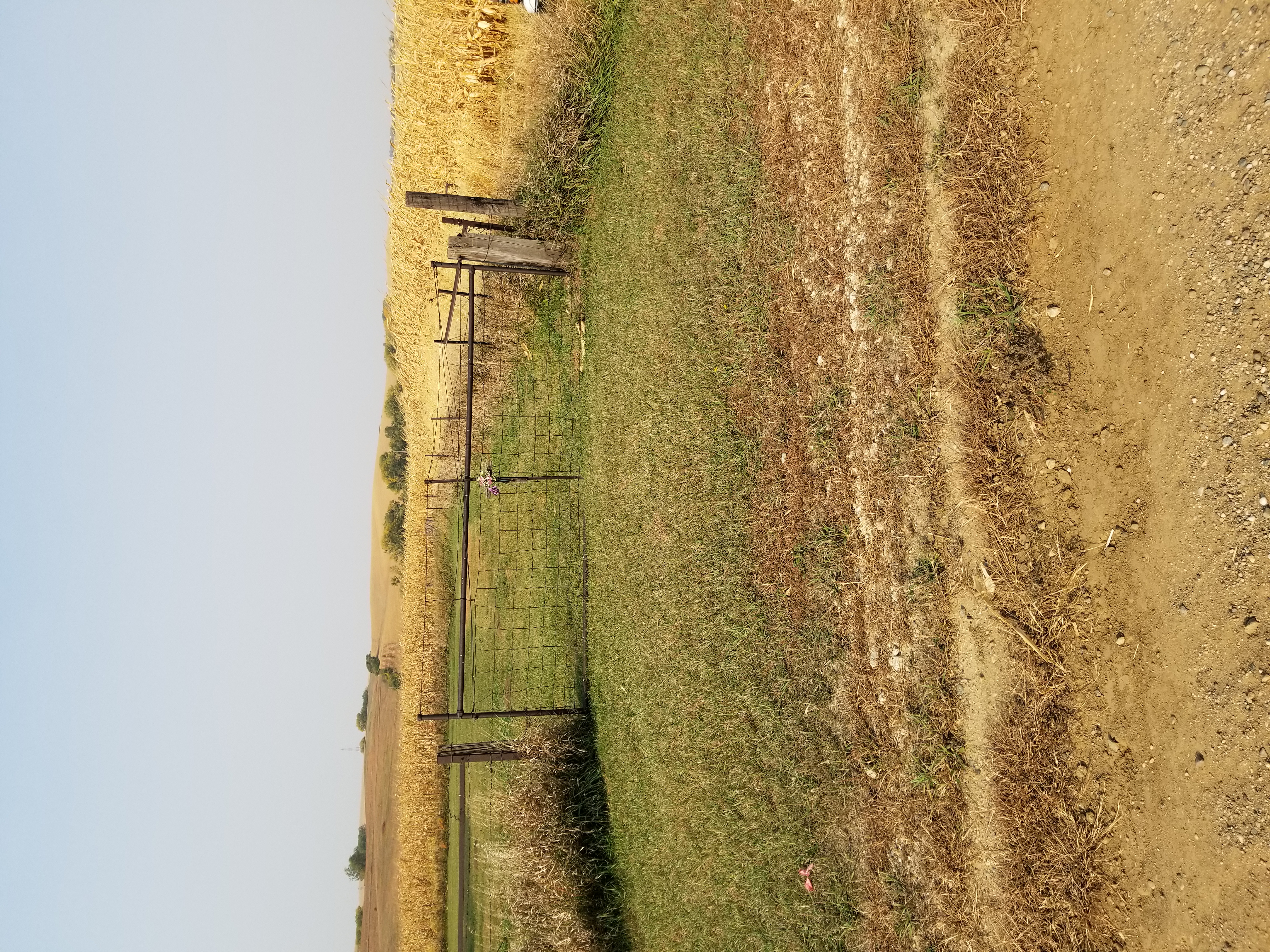
| Grange Cemetery |
Luton (Grange Township) Google map https://goo.gl/maps/vaqRkQqr8efwfCtG9 No Entrance Photo. Looks like it is in a farm pasture. You may have to ask the land owner to get in.
|
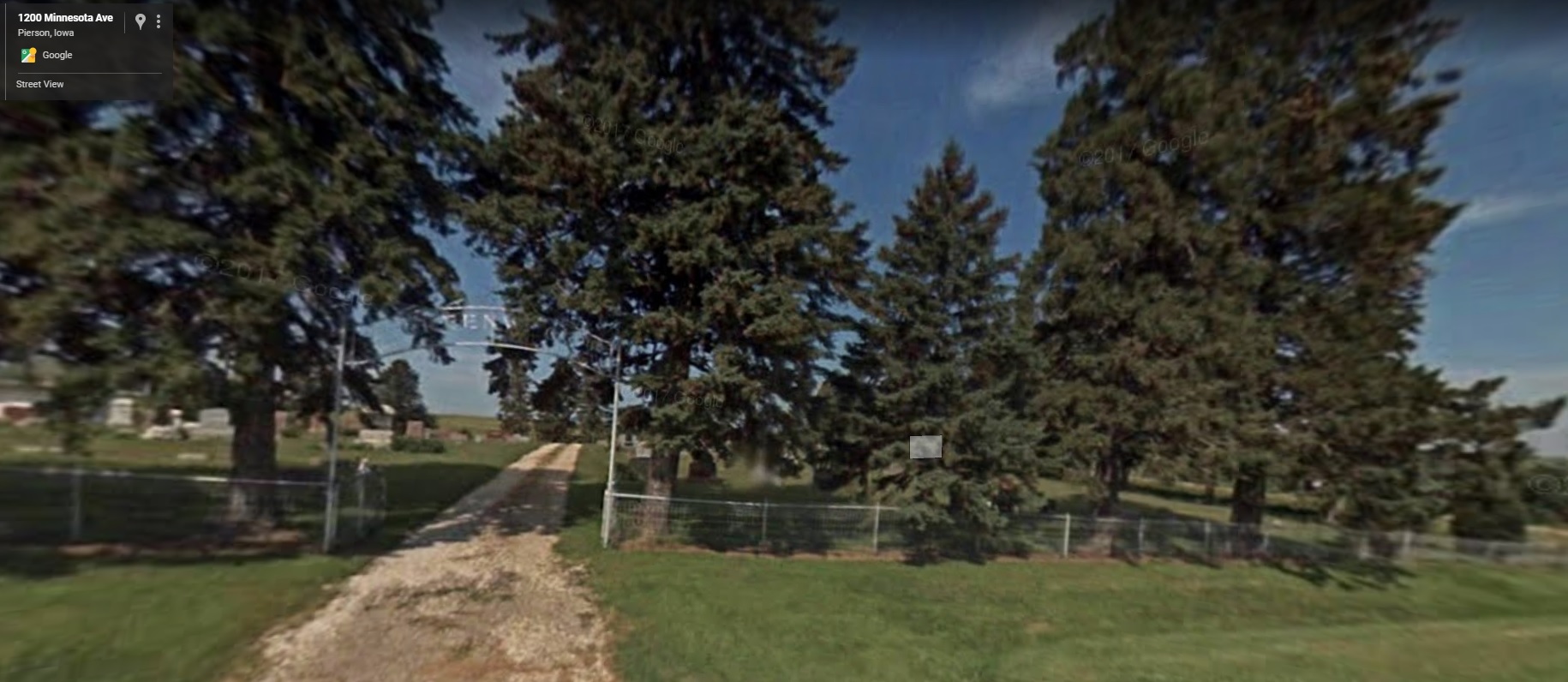
| Greenwood Cemetery | Pierson (Rutland Township) Google map https://goo.gl/maps/4ZMdWwp1Y6nr3PNf7 Entrance photo |
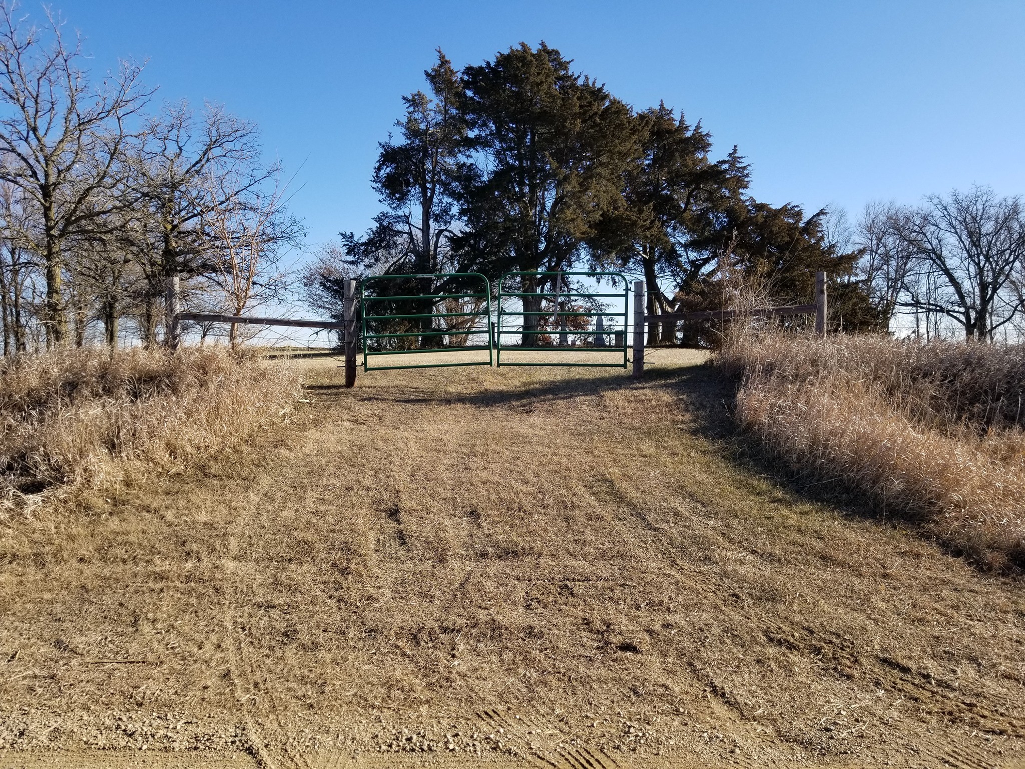
| Liberty Township Cemetery | Near Salix Entrance Photo. Google maps: https://goo.gl/maps/ZPRe9xAF2gRXuupTA adjacent to St. Joseph North Cemetery |
| Liston Township Cemetery
St. Mary's and St. Patrick's Cemetery and Liston Township Cemetery All three cemeteries are adjacent to one another. There is a nice little building with names and location of people there. |
Liston Township Cemetery
|
| Little Sioux Township Cemetery - a.k.a Smithland Cemetery
Civil War Soldiers List Little Sioux Township Cemetery - a.k.a Smithland Cemetery General list |
Smithland, IA 51056
|
| Logan Park Cemetery - City of Sioux City Parks Dept. (712) 279-6126 | 3901 Stone Park Blvd - Sioux City Entrance Photo |
| Lucky Valley Cemetery - a.k.a Zion Cemetery | Lucky Valley
Cemetery Anthon, IA 51004 Google map https://goo.gl/maps/RfAvBmbP7Ht3Uies7 Entrance Photo |
| Memorial
Park Cemetery - incorporated on the 19th of August 1936 This is a private cemetery, I have no information. |
Memorial Park Cemetery 6605 Morningside Ave, Sioux City, IA 51106 Google map: https://goo.gl/maps/XkWTBR3g3xEGQNwK7 |
| Midway Cemetery - aka Saint Paul's Cemetery | Morgan Township Google maps: https://goo.gl/maps/AMeLgvUeYbdqcNA88 |
| Mt. Carmel Cemetery This is a private cemetery, I have no information. | Sioux City |
| Mount St. Joseph Cemetery |
Athonn, IA Google Maps: https://goo.gl/maps/Cn8mmqwbVBk8a9Nu9 |
| Oak Hill Cemetery | Anthon (Kedron Township) Google Map: https://goo.gl/maps/16Z8kFTPjEgCta7r5 Entrance photo |
| Oto Cemetery aka Wendell Cemetery, aka Little Sioux Township #2 | Oto Google Map: https://goo.gl/maps/VP8y6vGsor6CrRB17 Entrance photo |
| Peiro Cemetery aka Peiro - Bethel cemetery, aka Grant township cemetery | Grant township Google map https://maps.app.goo.gl/cPzRM1fmjP4JjMyt5 Entrance photo |
| Pleasant Hill Baptist Cemetery | Pleasant Hill Cemetery (Wolf Creek Township) Anthon, IA 51004 Google Map https://goo.gl/maps/KNQXEu5u4WknHDyU7 Entrance photo |
| Saint Joseph's Cemetery | Salix, Iowa (Liberty Township) Google map https://goo.gl/maps/ms5ogLvEoYnw8piE9 Entrance photo |
| St. Joseph North Cemetery | Salix, Iowa (Liberty Township) Google map https://goo.gl/maps/mXVyaEAv2R4UJDYS7 Adjacent to Liberty Township Cemetery |
| Saint Joseph's Cemetery aka Wolf Creek Cemetery | Miller Twp., near the town of Anthon, IA 51004 https://goo.gl/maps/8W5abb4fNHDu573w8 Entrance Photo |
| Saint Mary's Cemetery | Oto, IA 51044 Google map: https://goo.gl/maps/HefsUmDdnKKb1CyKA Entrance photo |
| St. Mary's and
St. Patrick's Cemetery St. Mary's and St. Patrick's Cemetery and Liston Township Cemetery All three cemeteries are adjacent to one another. There is a nice building with names and location of people there. | Danbury (Liston Township) Danbury Cemetery Danbury, IA 51019 https://goo.gl/maps/sGVhxomVSEv363Ed8 Entrance Photo |
| St. Paul’s Cemetery |
Midway, (Morgan Township) St. Paul Lutheran Cemetery Battle Creek, IA 51006, USA https://goo.gl/maps/5iNqgrQ6MXMx4kU96 Entrance photo |
| Sgt. Charles Floyd Monument (Lewis and Clark Expedition) | Sergeant Floyd Monument 2601 S Lewis Blvd, Sioux City, IA 51103 Google map: https://goo.gl/maps/2EaXPbbm4KC36CZq9 |
| Sloan Cemetery | Sloan Google map https://goo.gl/maps/MeGQV2ev3LWFybrB7 Entrance photo |
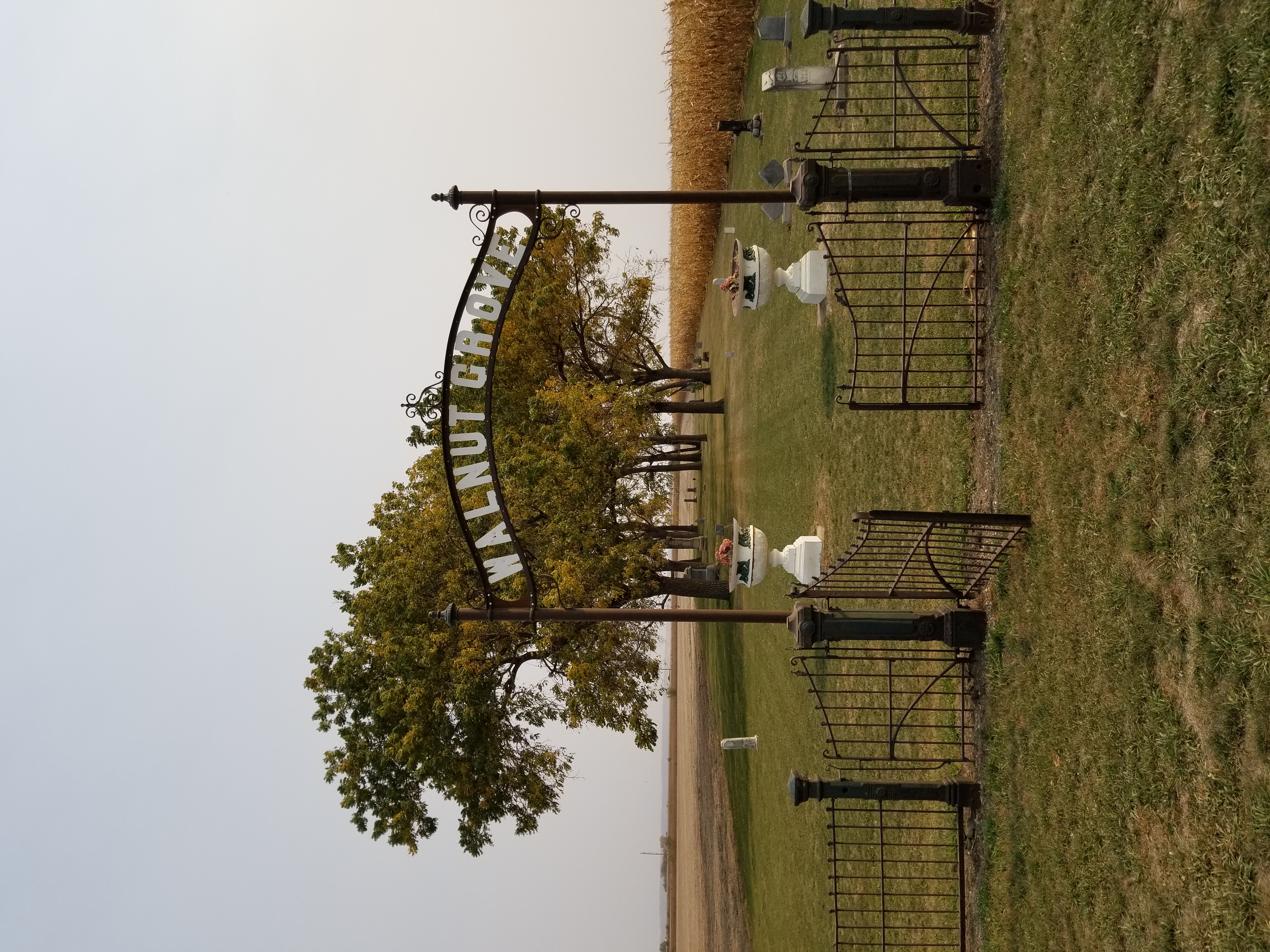
| Walnut Grove Cemetery | Salix, IA 51052 Google map https://goo.gl/maps/7aVcrg1T1Y5qC1Yu5 Entrance photo |
| War Eagle Grave | Chief War Eagle's Grave
Historical Marker Sioux City, IA 51103 Google map: https://goo.gl/maps/D4dDCBs9VCTfEgu8A |
| Wellington Cemetery - a.k.a. Advent a.k.a Hollister |
Lenox Ave, Smithland, IA 51056 Google map: https://goo.gl/maps/s4dBaAoSk9gTHP3v7 Entrance photo |
| West Fork (township) Cemetery | Climbing Hill Google map: https://goo.gl/maps/PRCwnhXuVTVoC3Li6 Entrance photo |
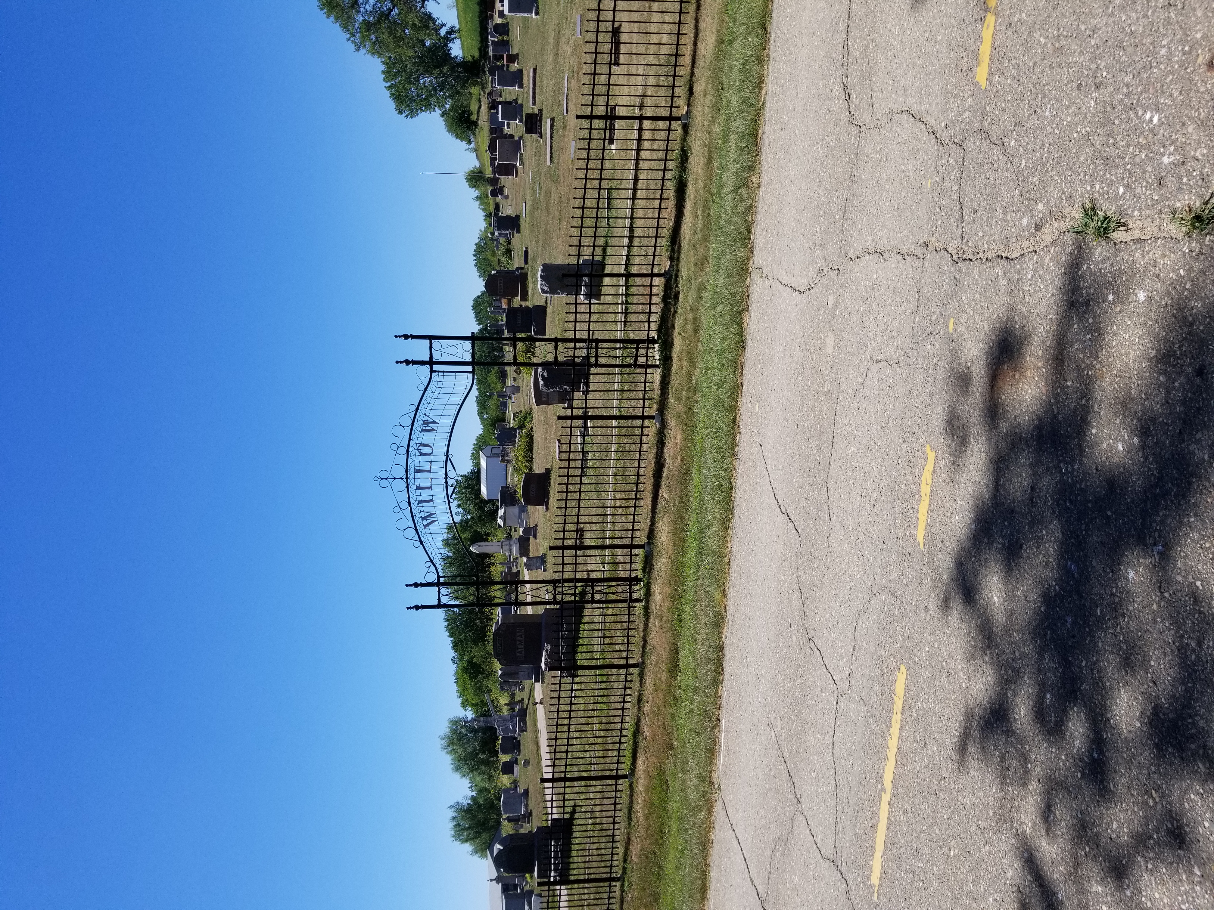
| Willow (Township) Cemetery - a.k.a Lee Cemetery Holly Springs | Willow Township Cemetery 2927 Humbolt Ave, Hornick, IA 51026 Entrance photo Google map https://goo.gl/maps/NAuiYkygZ3rWD5cj6 |
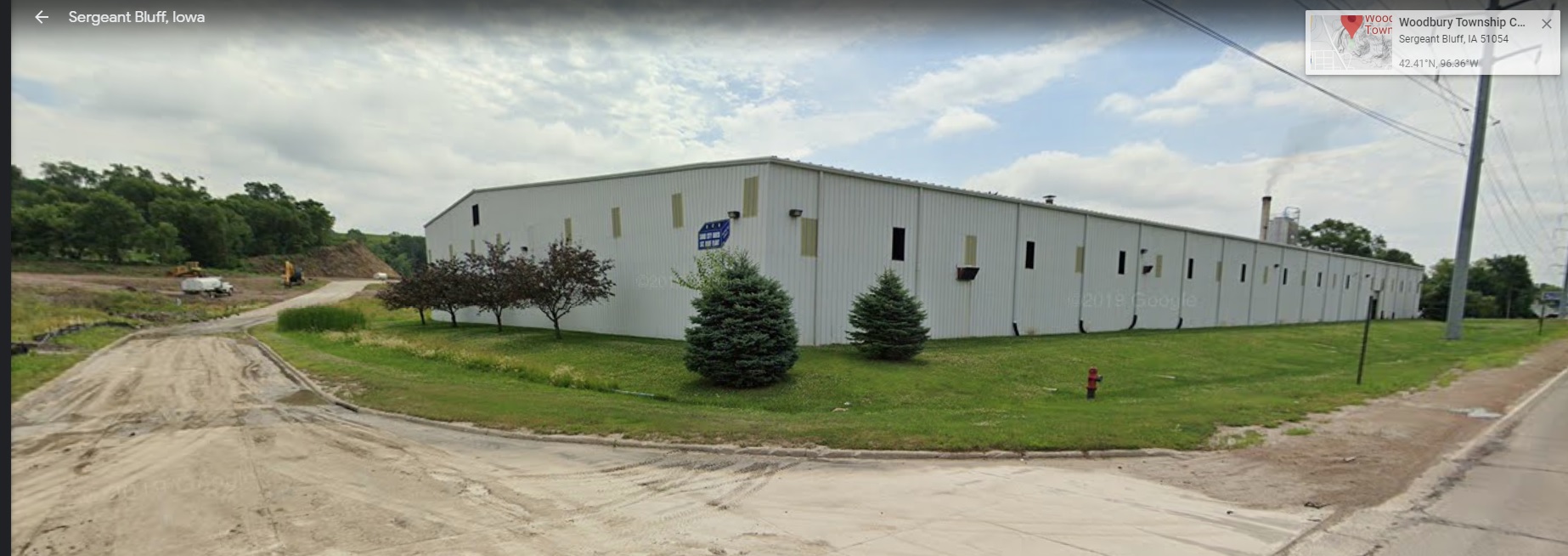
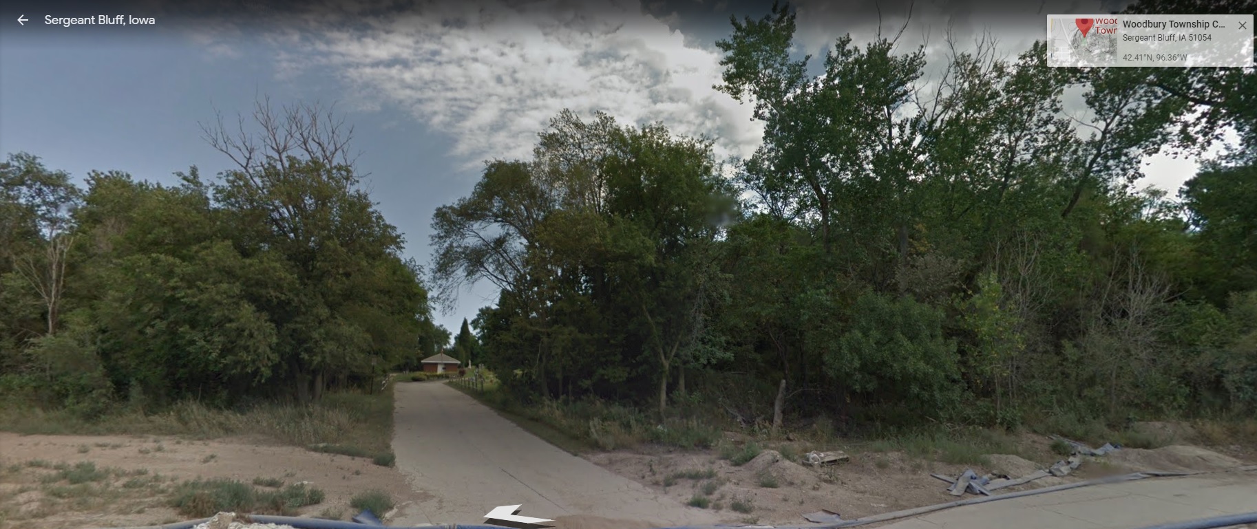
| Woodbury Township Cemetery - a.k.a Holman Cemetery - Hill Cemetery - Sgt. Bluff Cemetery Brick Cemetery. |
Sergeant Bluff, IA 51054 Google Maps https://goo.gl/maps/Fd7wfC3X6gsUESrF8 Entrance Photo #1 Entrance Photo #2 |
Woodbury County Coordinator
![]()
© Copyright Greg T. Brown 1997-2022. All Rights Reserved.
TERMS, CONDITIONS, DISCLAIMERS
Copyright
Fundamentals for Genealogy
Woodbury County, Iowa, USA.
Click here for the HOME page.