| MAPS OF HOWARD COUNTY |
|
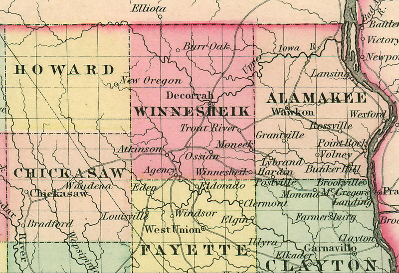
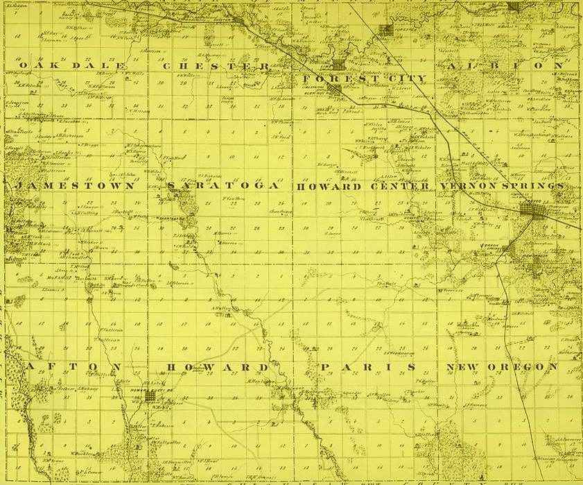
1. The 1897 Frank H. Galbraith Railway Mail Service Map that shows the rail lines through the area. 2. The 1855 J. H. Colton Map showing the main roads through the area (Contributed by Paul Vasold, December 2009). 3. The map below shows Howard County as published in the 1875 A. T. (Alfred Theodore) Andreas' Illustrated Historical Atlas of the State of Iowa. To view one of the individual Townships click on the Township name. For a brief history of the 1875 Illustrated Atlas and its' author refer to the Historical Introduction of the 1970 reprint of the Atlas. (all materials contributed by Paul Vasold in 2004) |
(click above to visit)
Please, contact the County Coordinator to submit additions or corrections.
Howard IAGenWeb HomePlease read the IAGenWeb Terms, Conditions & Disclaimer |
~all of which applies to the Howard Co. website. ~ |
this page was last updated on
Monday, 15 April 2013
|