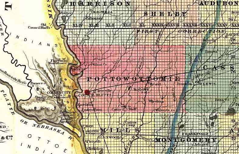
Return to the Pottawattamie Co. home page.   |  Maps Home  
1856 Map of Pottawattamie County
and it's surrounding area

Taken from Parker’s Sectional & Geological Map of Iowa,  By Nathan H. Parker author of “Iowa As It Is,” Clinton Iowa. 1856.  Scan courtesy of Library of Congress, American Memories website.  This is a public domain map.

1856 Map of Pottawattamie Co. and surrounds

Contributed by Stephen D. Williams.

Copyright © IAGenWeb 2004
IAGENWEB-POTTAWATTAMIE CO., IOWA: In keeping with our policy of providing free information on the internet, data may be used by non-commercial researchers, as long as this message remains on all copied material. These electronic pages may not be reproduced in any format for profit, nor for presentation in any form by any other organization or individual. Persons or organizations desiring to use this material for purposes other than as stated above, must obtain express written permission from the author, or the submitter and from the listed Pottawattamie Co. Coordinator.

Home
Maps Home