![]()
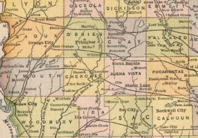
Click on the map to see it larger |
|
 |
|
| Here is a detail of Pocahontas County from the above map. | 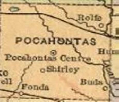 |
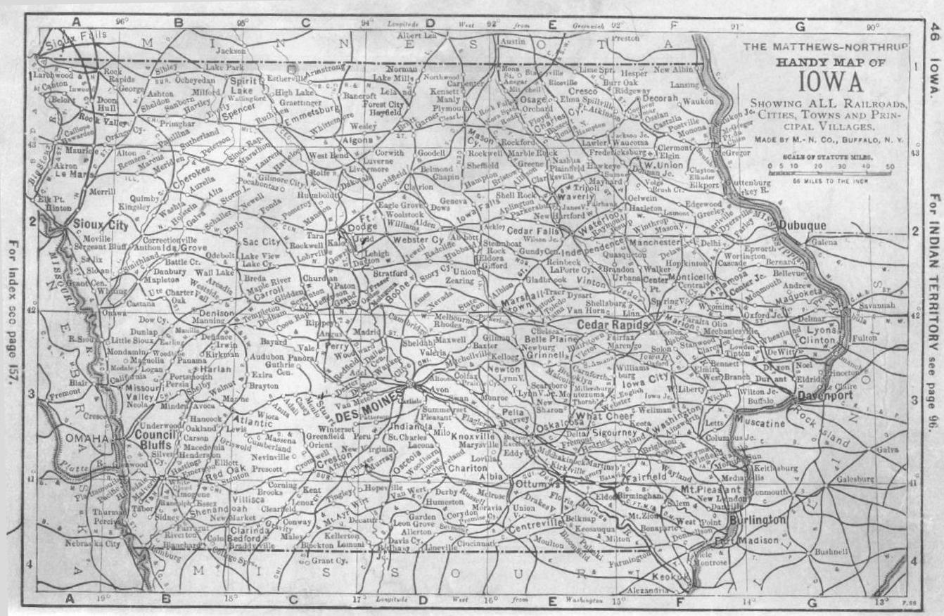
| Here is a "Handy Map of Iowa" from 1893 showing "All railroads, Cities, Towns and Principal Villages" Click on the map to see it quite large. This map is the entire state. About this map - I scanned it from the book "Complete Handy Atlas of the World and City Guide" published by the Orange Judd Company. The book was owned by my Grandfather. |
 |
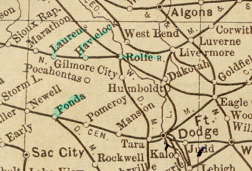
| This map shows the rail routes and towns where the trains stop. The towns of Pocahontas county have green in the name. |
 |
| I scanned this map from the 1977 Iowa Transportation Map printed for free distribution only. | 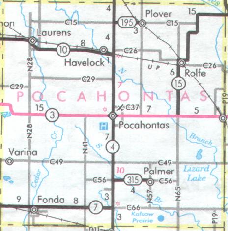 |
|
Maps on this page scanned from the personal books/maps of Tim Meyer except as noted and were donated for the use of
|
|