
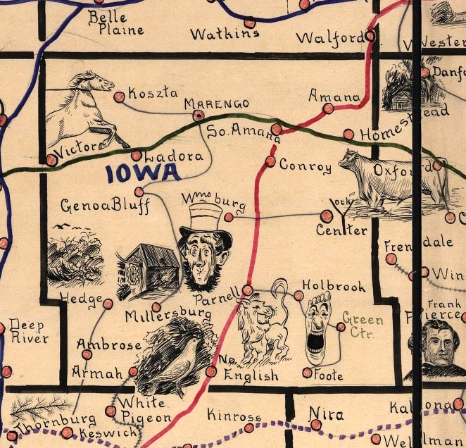
|
Iowa County detail from Galbraith's railway mail service maps,
Iowa.
Galbraith, Frank H.; Created/Published Chicago, 1897, c1898.
One of eight large-scale pictorial maps of midwestern states showing routes and post
offices of the Railway Mail Service. Designed by Chicago railway mail clerk Frank H.
Galbraith to help employees of the Railway Mail Service quickly locate counties and
post offices. The maps were rented for practicing or prospective workers who numbered
over 6,000 and traveled over a million miles a year on the rails sorting mail. A printed
title cartouche accompanied by a list of counties for each of the states by McEwen Map
Company of Chicago is pasted on the maps. For published maps showing the routes of the
mail service see entries 283 and 313.
From the
Library of Congress Geography and Map Division, a.ka., Library of Congress American
Memories. See Copyright and Restrictions at this link. Resized and manipulated for this
site by Stephen D. Williams 2005.
|