Located along the north side of the strip of land between School Street and Pioneer (Pig Alley) Steet that the Lewelling brothers once owned. Extraction of these land records follow the pictures of the Gibson house that William Lewelling may have built. Near first base on the school ball diamond.
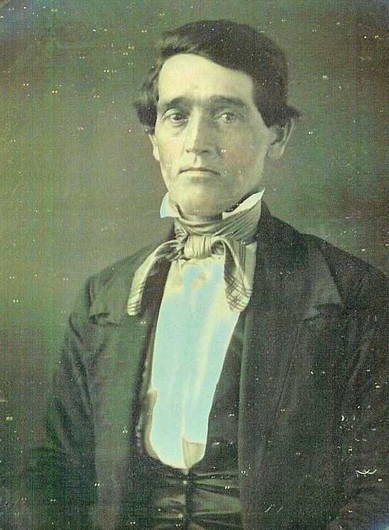
Gibson House. (2 pictures) At one time Isaac Gibson owned and he was
the brother of Tamar and Mary Gibson who married Peter and George
Hobson, and the Hobson brothers are tied to the Underground Railroad
and/or the Lewelling house. The above house was on School Street and sat
near what is now first base on the grade school baseball diamond, about
three blocks east from the Lewelling House. It too was destroyed by
fire.
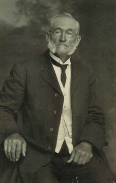
Isaac Gibson From the Free Press, Mt. Pleasant, Iowa Sept 30,
1915‚"Recent investigations have discovered a strangely planned cellar;
what would seem to be a well but no water; and passages leading
underground some distance from the Gibson house." (Article written right
after Isaac Gibson's death)
Picture from Bob Mendenhall to the Lewelling Quaker Museum This picture shows a bricked cellar room that goes a little ways back. Some believed used to hide runaway slaves. From the Feb 1997 Mt. Pleasant News , Don Young writes "...the Gibson House, where a cavelike area extended outward from the basement wall and was concealed by a cupboard.." Stories of tunnels running between houses cannot be documented, as no
one bothered to write what they knew down. But Elsie Craig, 86 in 2006
and still with a clear memory, remembers her father, Charles Ross
Pidgeon, who was born in 1877, telling about tunnels that one person
could be in near Pig Alley (her term), that road that ran east from
Whittier College/Academy (later Salem High School.) The teachers warned
the kids to stay out of these tunnels and the tunnels were boarded up
trying to keep kids out. Her father said they did not appear to run a
long ways. She said they were near Old Grandma Weeks (what the kids
called her) property and from the conversation, south of the house where
Isaac Gibson lived. Mr. Pidgeon descended from Isaac and Phebe Pidgeon
early Salem pioneers and who were part of the group who were removed
from Salem Meeting for joining the Separatist meeting. The information
below shows that Henderson and William Lewelling in 1842 purchased the
land that was between School Street and Pig Alley and where the Gibson
house was located.
1859 Salem Map From 1842 Land records we can show that The
Lewellings owned the above properties. On the above map I have tried to mark some of their property on the south side of Salem but the abstracts of titles will all need to be searched to verify. It looks like that Henderson and William Lewelling owned all of the land between South School Street and East Pioneer Street (Pig Alley) 31st day of the 8th month 1842,
page 308-309 for $350 ... the first commencing fifty links south of the
South East corner of Block No. twenty-four in the Town of Salem, thence
South eight chains and forty seven links to the Quarter section line
thence west along said line sixteen chains and fifty links, thence N 24º
46' East fifteen chains forty links thence South five chains, thence
east nine chains, eighty-two links, to its beginning (Lewelling
Quaker Museum property, abstract documents) 31st day of the 8th month 1841 page
311-312 for $120 ... the first commencing fifty links east and
fifty links South of the South East corner of Block # twenty-one in the
town of Salem running South eight chains thirty-four links to the
quarter Section line; thence west seven chains, thirty-four links,
thence North eight chains twenty-eight links, thence East seven chains
and thirty-four to the place of its beginning. It is O. L. 22 and
part of 20 and 21. Will verify with abstract later. 27th day of the 4th month 1841 page
309-310 for $40.00 Henderson Lewelling and his wife Elizabeth have made constituted and appointed and by all those present do make constitute and appoint John Lewelling of the County and State aforesaid our lawful attorney for us and in our name and stead to convey by a good deed of general warrantee all real Estate belonging to us and situated in Said County. And further to ask, demand, sue for and receive all sums of money, debts and demands which is our shall be due and belonging to us. 10th day of the 3rd month 1847 Deed Book
F page 205 for $733 |
|
Compiled by Jean Hallowell Leeper 2014; contributed to Henry County IAGenWeb, 15 Mar 2022 |